
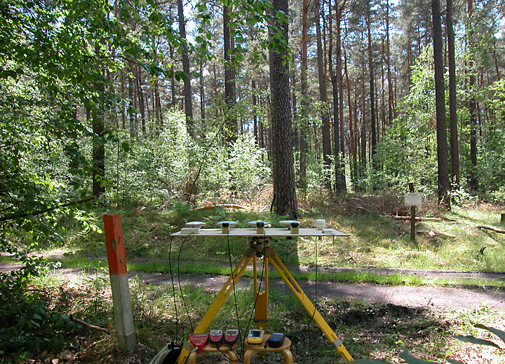
Wald D 2006-06-12
Garmin eTrex Legend Egnos
Leica GS20 AT501 Beacon
Leica GS50 AT501
Magellan MobileMapper CE AT575 Egnos
Garmin GPSmap 60 CSx Egnos
Leica GS20 AT501 Egnos
Magellan eXplorist 600 Egnos
Trimble GeoXT Hurricane Egnos
| Garmin eTrex Legend Egnos | Garmin GPSmap 60 CSx Egnos | Leica GS20 AT501 Egnos | Leica GS20 AT501 Beacon | Leica GS50 AT501 | Magellan eXplorist 600 Egnos | Magellan MM CE AT575 Egnos | Trimble GeoXT Hurricane Egnos | |
|---|---|---|---|---|---|---|---|---|
| Systematische Abw Ostwert | 0,590 m | -4,560 m | -0,210 m | -0,446 m | -0,092 m | -0,827 m | -0,517 m | -0,198 m |
| Systematische Abw Nordwert | 0,045 m | -6,324 m | 0,458 m | -0,116 m | 0,011 m | 5,511 m | 0,807 m | 0,536 m |
| Systematische Abw Höhe | 4,252 m | 9,357 m | 1,545 m | 3,378 m | 6,814 m | 13,431 m | 9,837 m | 8,167 m |
| Systematische Abw Horizontal | 0,592 m | 7,796 m | 0,504 m | 0,461 m | 0,092 m | 5,573 m | 0,958 m | 0,571 m |
| Standardabw Ostwert 95% | 10,942 m | 14,679 m | 12,436 m | 5,919 m | 5,760 m | 5,062 m | 4,769 m | 5,743 m |
| Standardabw Nordwert 95% | 29,736 m | 16,829 m | 17,869 m | 9,875 m | 9,559 m | 9,651 m | 10,237 m | 9,292 m |
| Standardabw Höhe 95% | 42,173 m | 39,679 m | 33,644 m | 19,406 m | 16,431 m | 7,532 m | 9,235 m | 17,558 m |
| Standardabw Horizontal 95% | 22,388 m | 15,779 m | 15,381 m | 8,134 m | 7,885 m | 7,698 m | 7,980 m | 7,718 m |
| Quantil Horizontal 95% | 21,429 m | 21,747 m | 12,692 m | 10,343 m | 8,860 m | 9,719 m | 9,862 m | 9,192 m |
| Faktor Nordwert : Ostwert | 2,718 | 1,146 | 1,437 | 1,668 | 1,660 | 1,906 | 2,147 | 1,618 |
| Faktor Höhe : Horizontal | 1,884 | 2,515 | 2,187 | 2,386 | 2,084 | 0,978 | 1,157 | 2,275 |
Hier kann die Auswertung der Messergebnisse mit Microsoft Excel 2007 heruntergeladen werden:
2006-06-12_waldd.zip (1,5 MB)